
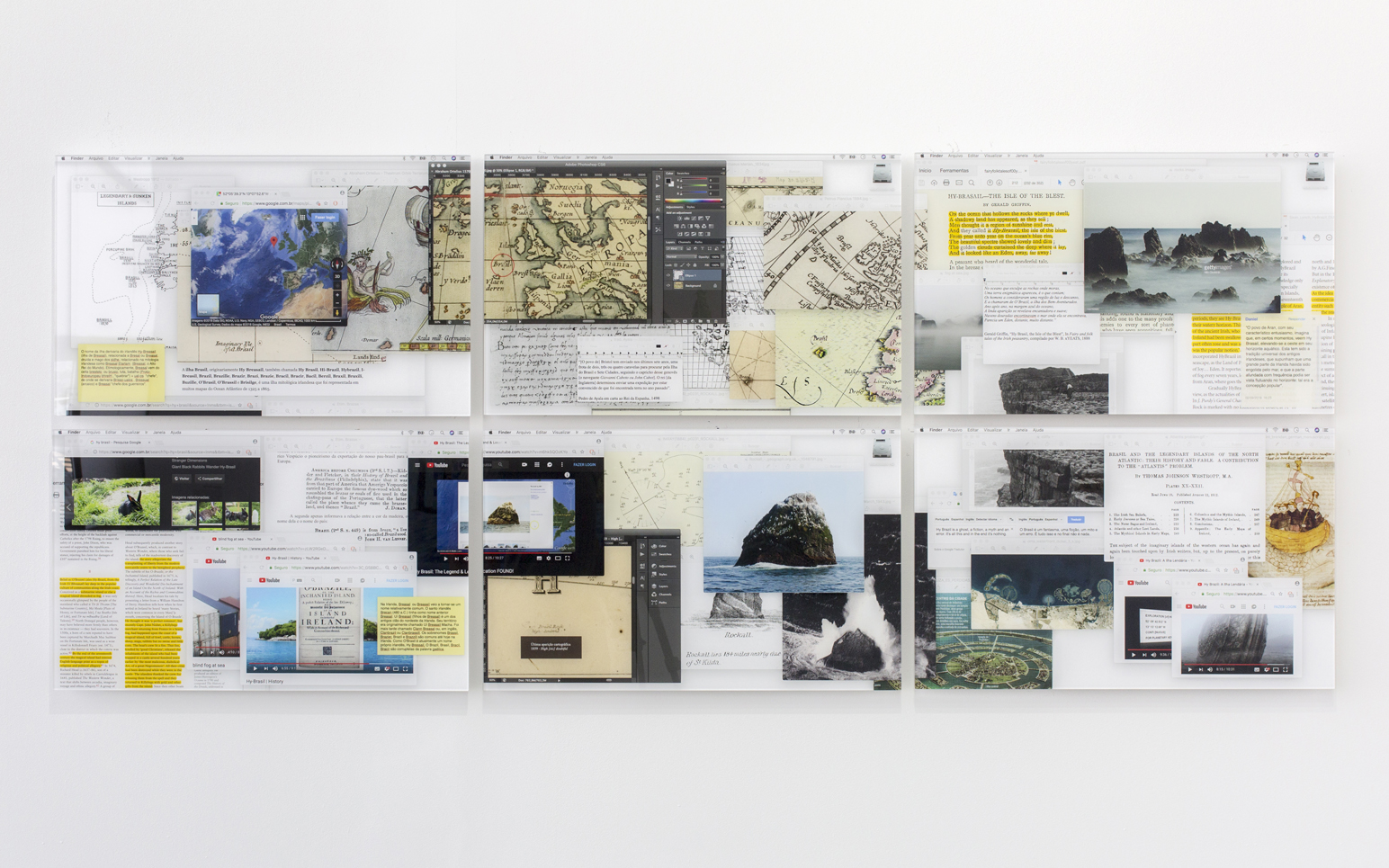

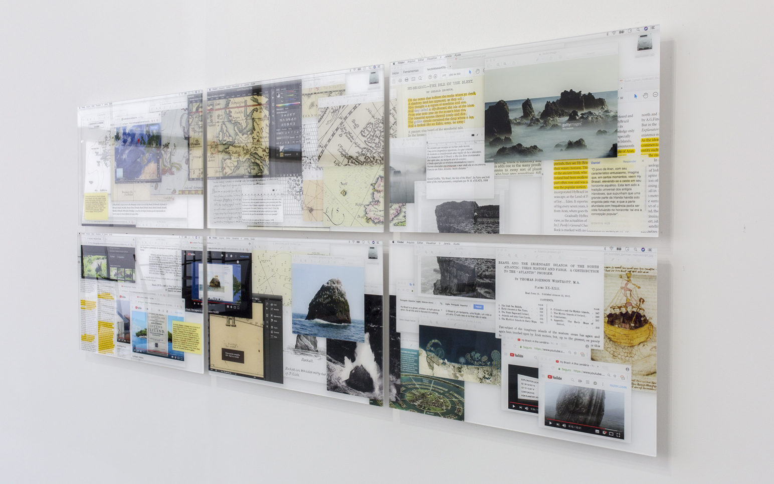
Digital collage made
out of screenshots from six computer monitors, displaying the results of an
extensive online research about Brazil, the island. It explores the functions
of several digital tools to organize the different narratives — historical, literary, mythological, cartographic — which intertwine the screens. The finish of the methacrylate prints also evokes the glassy aspect of
computer screens, smartphones, and tablets, which inevitably mediate our
relationship with reality.
Photographic Polyptych > 06 mineral pigment prints on cotton paper and methacrylate
(37.5 x 60 x 1 cm each; 75 x 180 x 1 cm total)
Photographic Polyptych > 06 mineral pigment prints on cotton paper and methacrylate
(37.5 x 60 x 1 cm each; 75 x 180 x 1 cm total)
Hy Brazil is an investigation
about error, deception, delusion. It takes as its object a ghost island called
"Brazil" (or Hy Bressail, O'Brazil, Bracil, Bracir etc.) long before the
discovery of America. Usually located close to the coast of Ireland, it was
virtually present in all nautical maps, from 1325 to 1870, until it was finally
discarded by modern cartography. In the meantime, the isle of Brazil has
occupied a privileged place in the imagination of the Age of Exploration and
beyond – in literature, scholasticism, mythology and even ufology – as a
wonderful but unreachable place.
By drawing a complete cartography of deception, Hy Brazil points beyond the simple homonymy with the South American country. For, when seen from afar, outside or above, Brazil does not seem to be anything more than this desert island waiting for a colonizer, this virgin significant waiting for a redemptive discourse. Its concrete existence – with its own history, geography and culture – does nothing to change its essentially ghostly status. After all, today as yesterday, no reality has ever prevented the wildest ghosts of desire and the unconscious from flourishing and proliferating here.
A vacant metaphor, says Malachy Tallack, "Hy Brazil is a ghost, a fiction, a myth and an error. It is all of that and, in the end, it is nothing".
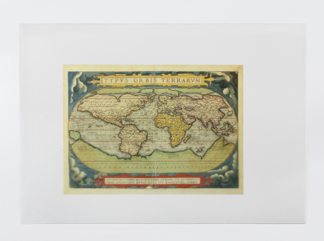
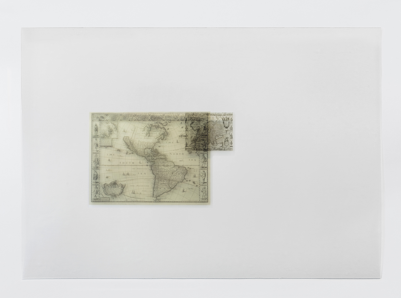
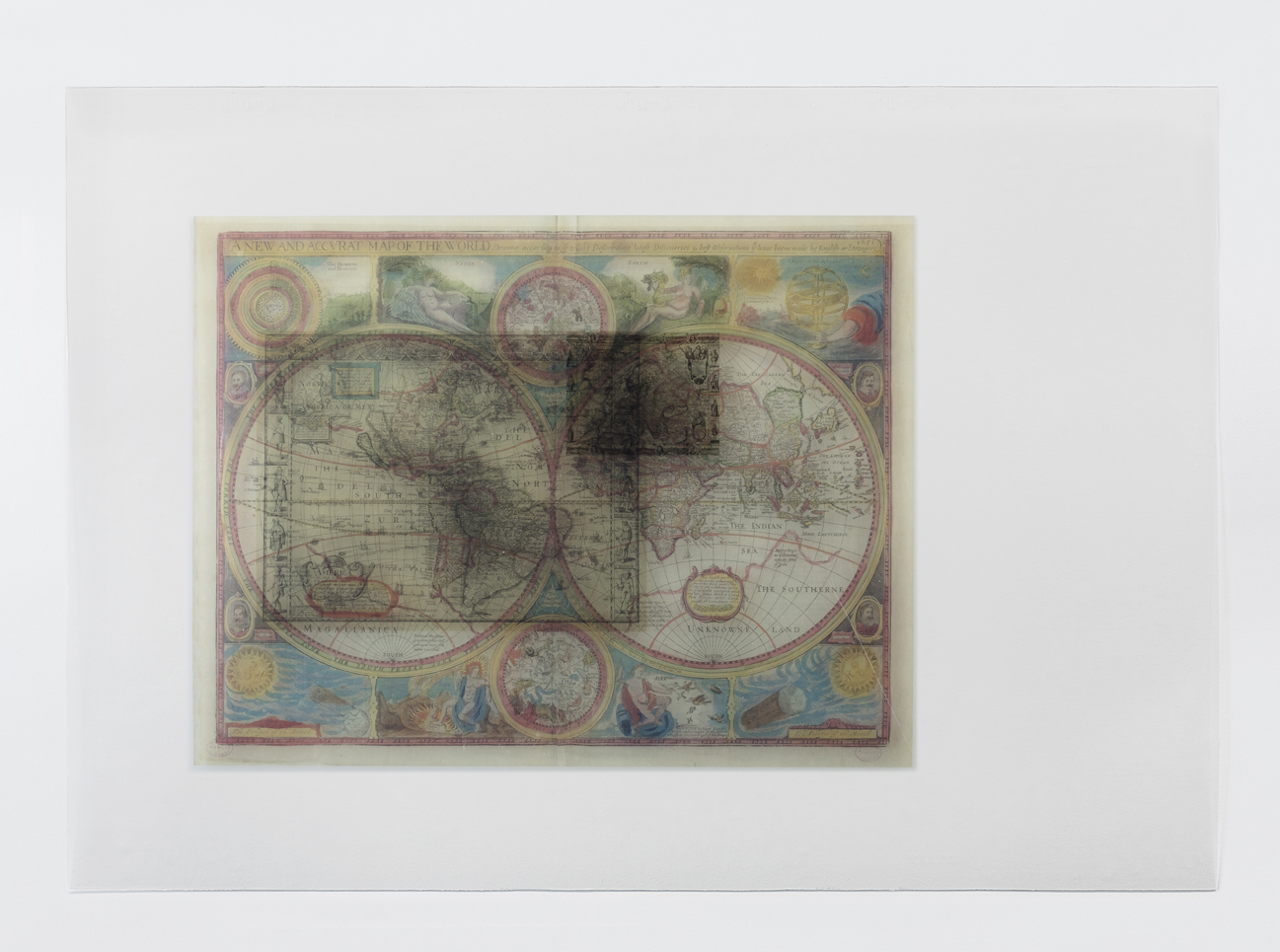
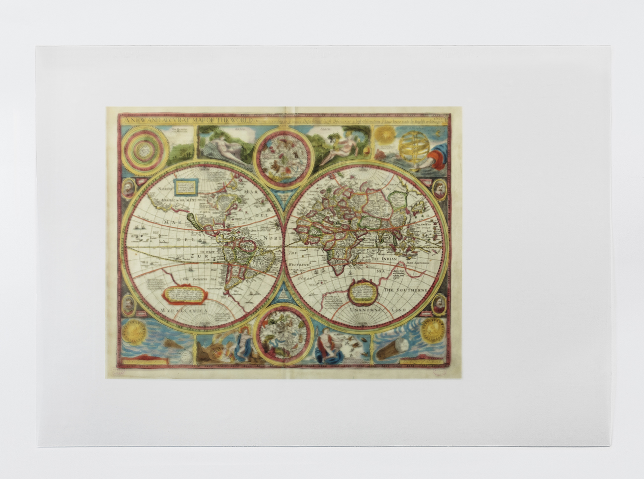
Set of transparencies containing historical maps of different
formats, provenance and purposes. Placed on the same scale, they allow one to
graphically superimpose different stages of the development of geography, but
also of the cartographic conventions themselves. A series of X-shaped laser
engravings highlights, on any of the maps, all the locations where the ghost
island has been located over time.
Transparencies > 37 Prints in PETG plates 0,5mm laser recorded (70 x 100 cm each)
Transparencies > 37 Prints in PETG plates 0,5mm laser recorded (70 x 100 cm each)
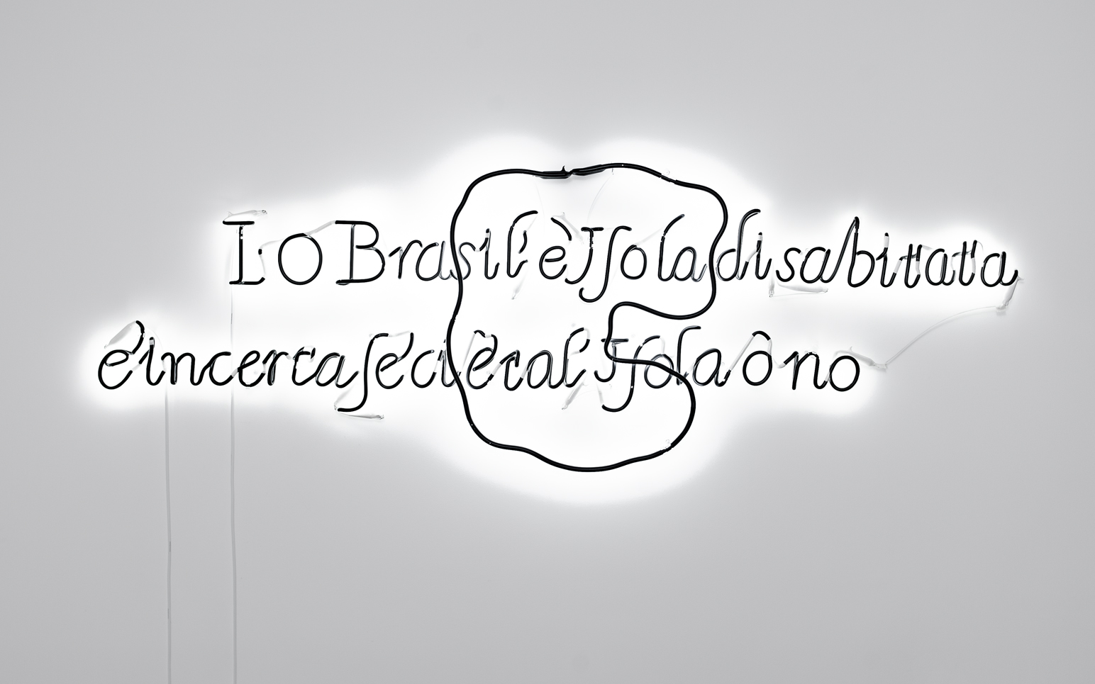
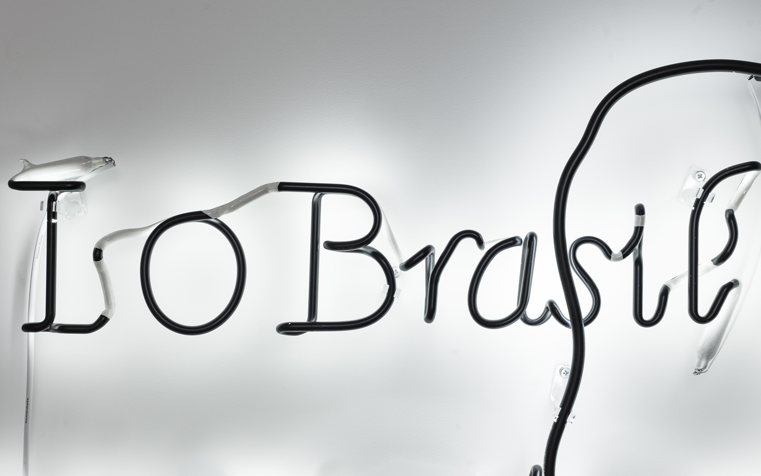
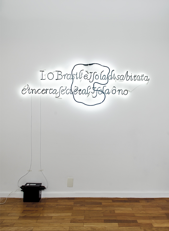
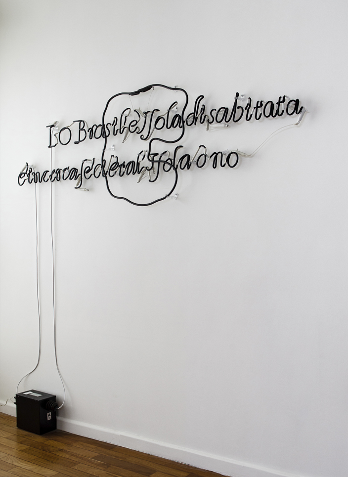
Reproduction of a
handwritten note by cartographer Robert Dudley, in his
"Carta Particolare dell Mare di Ierlandia e Parte di Inghilterra e della
Iscotia" from 1646-47. Next to the island of Brazil, one reads in archaic
Italian: "I. O Brasil è Isola
disabtitata. È incerta se c’i e tal Isola ò no". What could be translated to
English as: "I. Brazil is an uninhabited island. It is uncertain whether the
island exists or not". With its letters painted in black, the neon sign
emphasizes the handwritten aspect of the annotation on paper.
Light sign > white neon painted black (230 x 57 cm)
Light sign > white neon painted black (230 x 57 cm)
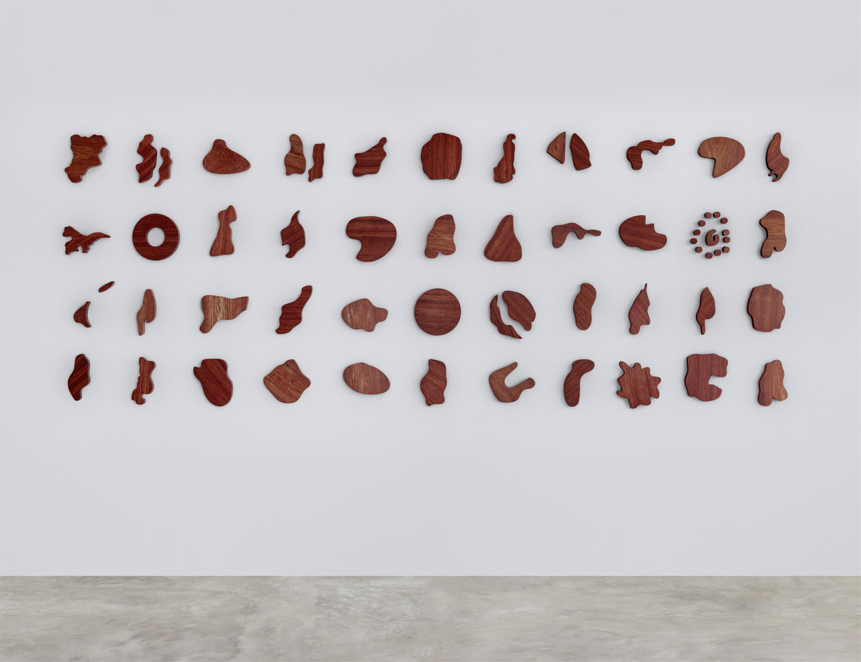

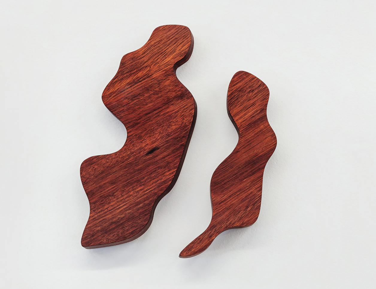

A set of clippings reproducing the most diverse shapes attributed
to the "Isle of Brazil" by cartographers from the 14th to the 19th
centuries. In addition to its "circular" character, there was a
constant belief that the island would contain a lagoon at its center, or even
be crossed by a river. The wood used, Muirapiranga, was often confused with the
reddish sap tree that gave Brazil (and perhaps the island itself) its name. For
this reason, it is officially called "False Brazilwood" today.
Reliefs > 48 solid wood pieces (approximately 25 x 25 x 2 cm each)
Reliefs > 48 solid wood pieces (approximately 25 x 25 x 2 cm each)
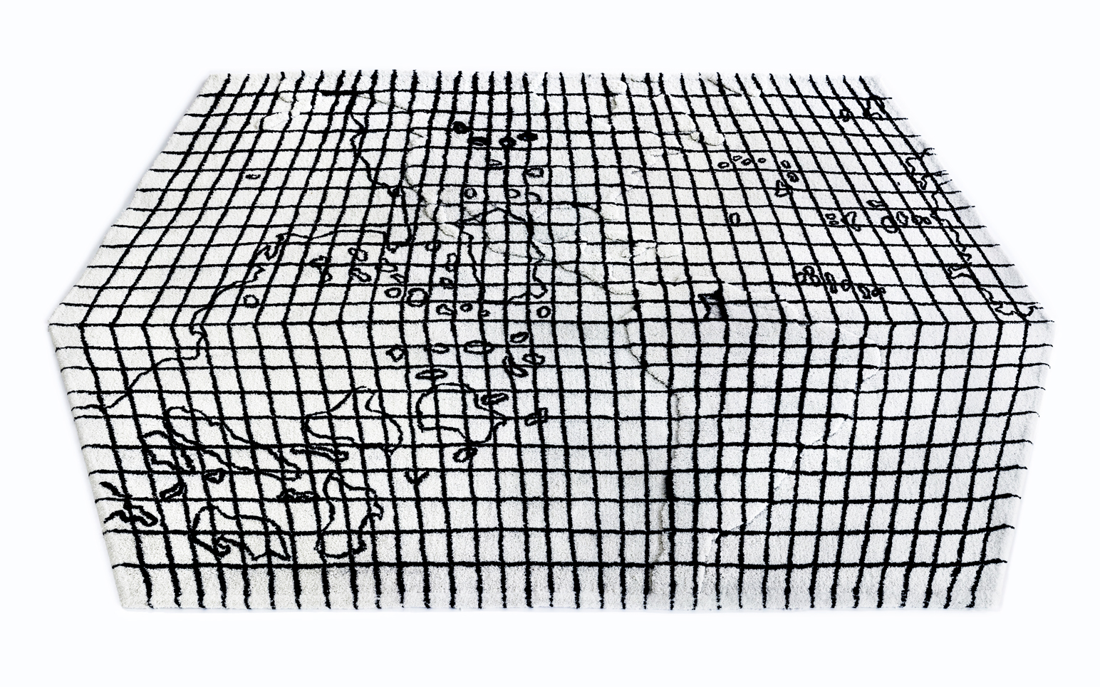
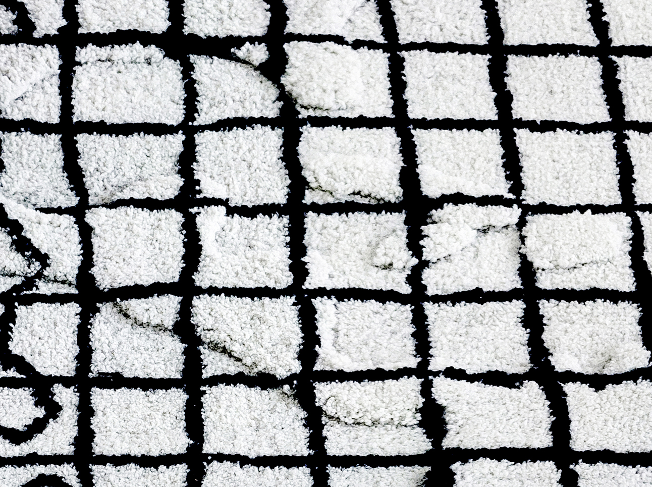
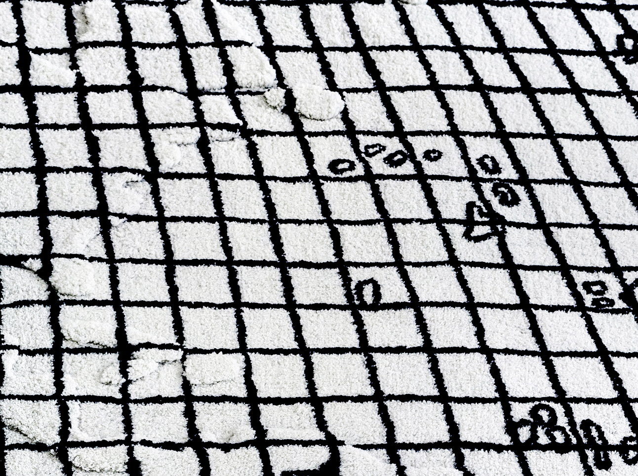
Carpet that reproduces a map by cartographer Paolo Toscanelli,
from 1474, sent to Christopher Columbus, indicating the possibility of reaching
the Indies by sailing westwards. Its fabric reconstitutes in black and white the
geography of the 15th century, with its new system of coordinates, while an
interplay of threads of different heights invites the public to accidentally 'bump' into the Americas with their feet.
Carpet > polyamide nylon with threads of 14 and 17 mm, polypropylene and latex base (190 x 260 cm)
Carpet > polyamide nylon with threads of 14 and 17 mm, polypropylene and latex base (190 x 260 cm)
